
On Interstate 64 east, although mostly headed south at this point. LaSalle Avenue used to be VA 167.

Would you like some BGS with your exit-only banner?


Cool and eclectic road name is. . .cool and eclectic.

Weird abbreviations. Also, don't forget to check your diesel, too.

What was so important at the I-664 terminus is now relegated to a middling LGS.

More inspection advisory signage.

Big shields, mini shields.

Exit 268 is the last exit before the tunnel. Also, more invariable variable message signs and more inspection advisory signage.

More variable speed limit signs.

The Hampton Roads Bridge-Tunnel carries Interstate 64 over and under the main shipping channels of the Hampton Roads harbor. The westbound side was opened in 1957 and the eastbound side was opened in 1976.

Looking west over the harbor.

Entering the tunnel, the third of four we took.
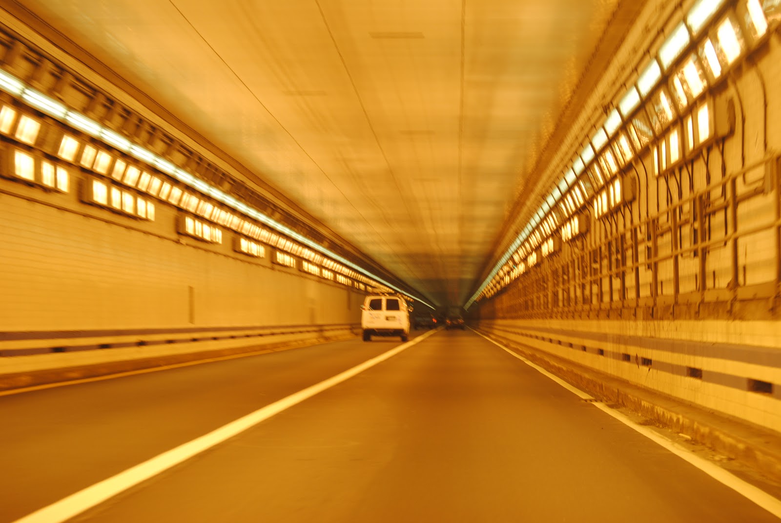
My camera realizes that maybe I want decent tunnel photos.

The eastbound tube has these backlit signs that tell you to maintain 55 mph. They're also surprisingly hard to take a photo of while in motion.
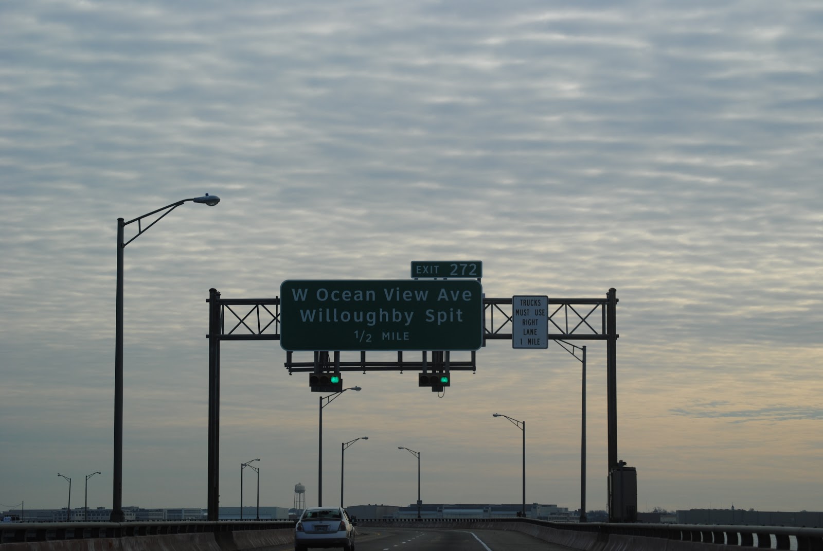
The HRBT ends in the Willoughby Spit neighborhood of Norfolk.

Backed-up westbound traffic, a common occurrence.

West Ocean View Avenue carries US 60 westbound and VA 168. VA 168 ends here while US 60 west crosses the harbor with I-64.

US 60 eastbound, however, stays with I-64 east until Exit 273.

The westbound tunnel, being over twenty years older than the eastbound one, has a lower clearance.

The two (oddly-split) directions of US 60 combine at the intersection of West Ocean View and Fourth View at the end of the Willoughby Spit.

This sign wants to make sure you know what HOV-2 means, even though it's only enforced during peak hours. (Actually, all HOV-2 lanes in this area are specifically posted as open to all traffic on weekends and outside of peak hours, including the I-64 reversible lanes.)

The restricted lane sign should have a VMS attached to it. One mile from junction Interstate 564.

Exit 276 also gives you access to US 460, VA 165, and VA 406.

At the eastern terminus of Interstate 564 at Interstate 64. This interchange is also the eastern terminus of the I-64 reversible lanes, which is a direct connection between I-264 west and I-564 north in the morning, and the opposite direction in the afternoon.

The ramp splits into US 460/VA 165 and I-564/TO VA 406.

Until Interstate 781 in New York was completed in December 2012 (about a week prior to these photos being taken), Interstate 564 was the only interstate highway spur built specifically for a military installation, in this case, Naval Station Norfolk.

The first real interchange on I-564 is the eastern terminus of VA 406, which connects I-564 (and I-64) with the Norfolk International Terminals.

Westbound I-564 reassurance shield.

There is no Gate 4. None whatsoever.

I-564 passes under Runway 10/28 of Chambers Field, which is a part of Naval Station Norfolk.

Runway lighting.

One-half mile from I-564's western terminus at VA 337.

The Gate 3/3A trumpet interchange is the last real interchange on I-564.

Everything else defaults onto VA 337 westbound.

I-564 comes to an end.

Actually, this should just say "WEST VA 337", as its eastern terminus is at I-564.

We follow VA 337 onto Hampton Boulevard.

Hampton Boulevard is a six-lane arterial that runs along the boundary of the naval station and some of its annexes for a time.

Some construction happening on a bridge near one of the gates.

At the western terminus of VA 406. This BGS for Terminal Boulevard is way more normal than the one going the other way.


You're presented with a choice. International terminals or beaches? Which would you choose? Which do we choose? Find out in the next installment. Also, Merry Christmas/Happy Holidays to you and yours.
No comments:
Post a Comment