
Transitioning to Interstate 664 north, or the Inner Loop of the Hampton Roads Beltway.

Exits on I-664 are numbered north to south, so the "first" exit you encounter after the Bowers Hill interchange is Exits 13A-B, for US 13/58/460 and VA 191 (even though VA 191 isn't very much a part of it).

As mentioned above, the Hampton Roads Beltway designation carries over onto I-664. Unlike I-64 (between I-264 and Bowers Hill), I-664 retains its own cardinal direction markers in addition to inner/outer designations.

This secondary route doesn't exist anymore.

More greenout in odd places.

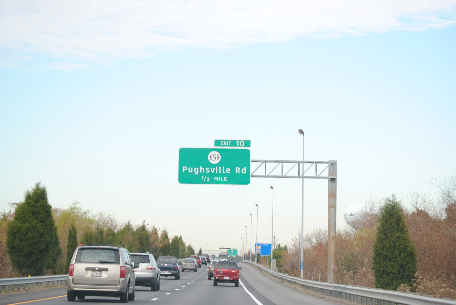
VA 337 is everywhere in Hampton Roads.

It can't be bargained with, it can't be reasoned with. . .um, wait. Don't forget to check your gas.

Portsmouth Boulevard goes to Portsmouth.

Spaghetti Eddie's.
To get to Spaghetti Eddie's, you have to take another secondary route that doesn't exist anymore.

We run into US 17 and VA 164 again. Also, seriously, guys, check your gas. Fume runners need not apply.

More inspection advisory signage.


We also run into VA 135 again.

If you didn't check your gas, you just became screwed. VA 135 is the last exit before the bridge-tunnel.


Typical pre-tunnel inspection station signage.

The Monitor-Merrimac Memorial Bridge-Tunnel carries Interstate 664 over (and under, but not sideways or down) the James River. It was completed in 1992.

Actually, it's a confluence of the James, Nansemond, and Elizabeth Rivers, but only the James is mentioned.

More variable speed-limit signs. Most of the time, they display a speed limit of 60 mph.

Actually, when I get into an accident on a bridge, I like to just leave my car.

Telephoto.

Entering the City of Newport News.


Entering the tunnel. The facade of the portal building is blackened from years and years of vehicle exhaust, but gives a sense of foreboding to people who dislike tunnels.

This time, my camera decided that all tunnel pictures would be blurry. This is the best one.

Coming out the other side.

The first Newport News exit we come across is Exit 7, Terminal Avenue.

The freeway in Newport News is mostly pre-664.

Sometimes old signs manage to hang around in a world of poorly-done Clearview and Arialveticverstesk(™).

My photos start to turn out well.


Some next-exits signage only shows two exits at a time instead of three.

More of the Georgiaesque T-bar style of signage. Also, I'm pretty sure this was the best photo I took in terms of clarity.

Next three exits, and an old, faded merge sign.

Entering the City of Hampton.
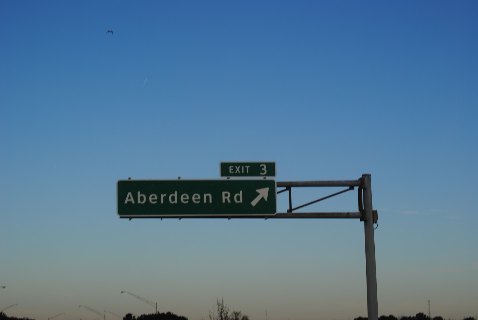
Exit 3, Aberdeen Road.

What looks like a Clearview carbon copy of a next-two-exits sign (actually, they're the same exit) with an exit tab stuck on it.

Another old merge sign.

Guys, Power Plant Parkway and Powhatan Parkway are the same exit.

Langley Air Force Base is accessed via I-64 east.

Exit 2, Power Plant and Powhatan Parkways, departs.

This older guide sign for the I-64 interchange survives.

This photo feels good, man. (Hint: file name.)

The last half-mile of I-664 north.

Looks like whoever made this sign was so busy putting control cities on it that he forgot to put the route number on. Interstate 664 ends here. The Hampton Roads Beltway carries back over to Interstate 64, perpetuating the Circle of Life, or Hampton Roads.

We revisit Interstate 64 eastbound. Less than one hundred photos to go now. Stay tuned.
No comments:
Post a Comment