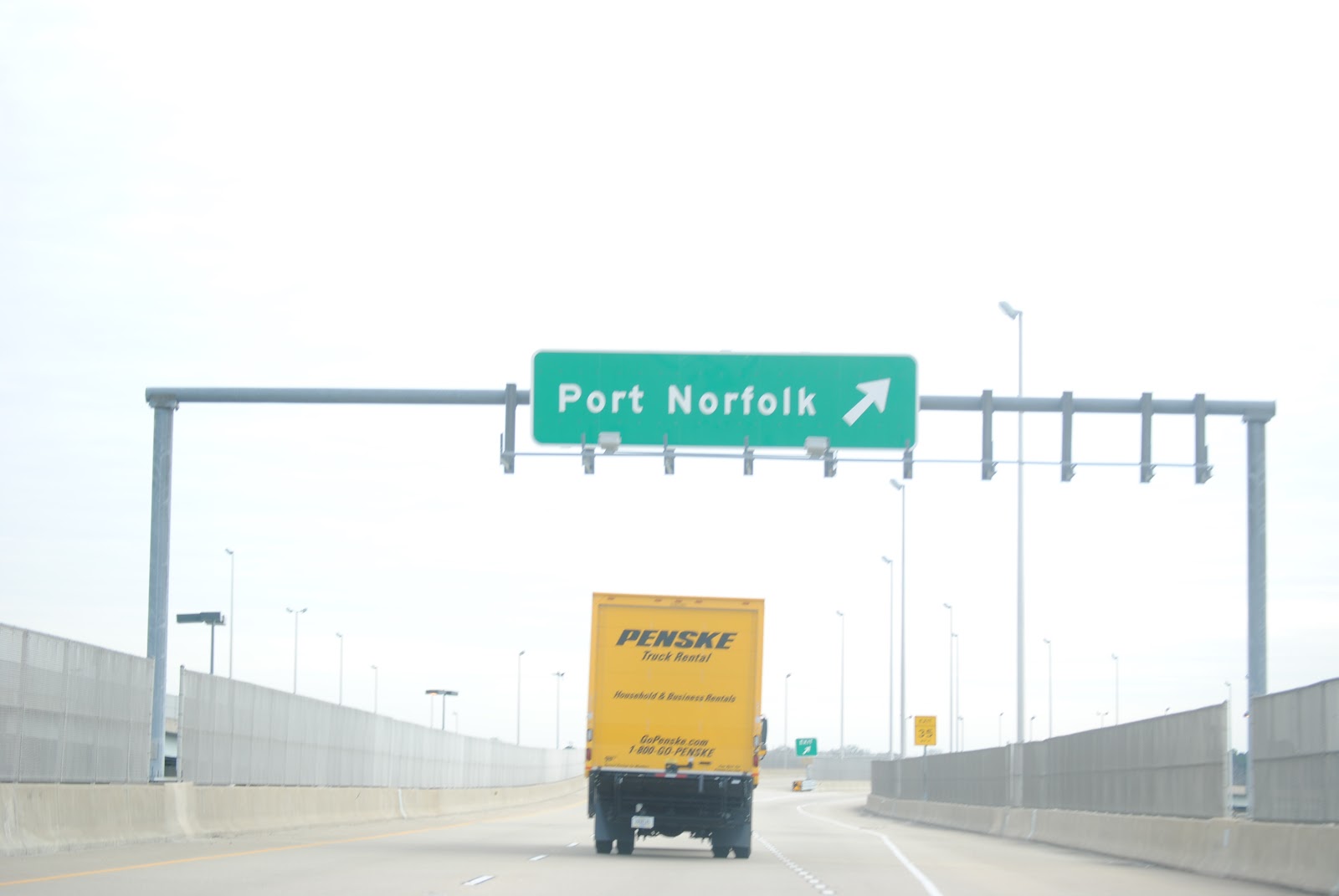
And we resume on the offramp from the now-ended VA 164 to eastbound US 58. There is an offramp off the offramp for Port Norfolk. There is also an END VA 164 shield at the gore point some distance behind this photo, but of course I didn't get it.

But don't despair, there's another one just past the Port Norfolk offramp, even though VA 164 doesn't end here, either.

US 58 encounters the northern terminus of VA 141.

We take it.

Living in Hampton Roads desensitizes you to bad road signs.

Older-looking shield on a wooden post.

For now, VA 141 is London Boulevard, a six-lane divided arterial.

Reassurance shieldage.

It also has a bike lane.

VA 141 shifts onto Effingham Street. London Boulevard becomes London Street and Effingham Street continues onto the property of Naval Medical Center Portsmouth.


New and old, semi-decent-to-okay and good.

Even older VA 141 shield.

While it carries the VA 141 designation, Effingham Street is four lanes divided with a speed limit of 25 mph.

VA 141 encounters I-264, heralded by this bizarre non-cutout shield.

Which is immediately followed by a state-named shield in an older LGS, unfortunately blocked by a poorly-placed lamppost.

And this cool Tunnel to Norfolk shield/guide sign.

The first of four tunnels we'll take is the Downtown Tunnel, which carries Interstate 264 underneath the Southern Branch of the Elizabeth River.

More tunnel advisory signage. "They told us you're supposed to use a mix of Clearview and FHWA series, so we did."

Variable message sign isn't very variable.

Entering the tunnel. The similarly invariable variable speed limit signs may tell you the speed limit is 35 mph, but most traffic generally goes at least 50.

The tunnel is not this dark, I promise.

Where's Sly Stallone when you need him?

Immediately after the east portal of the tunnel is the I-464 interchange. Interstate 464 connects Interstates 64 and 264, and also US 17 and VA/NC 168.

If you were in the left lane at the tunnel exit and wanted to get off on I-464, you may be screwed. If the tunnel is anything but dead, prior planning is all but essential at this interchange.

More invariable variable message signs (or changeable message signs that don't change if you want to be pedantic). Confused? This is the northbound I-464 transition ramp to westbound I-264, which is right next to the eastbound I-264 ramp to southbound I-464. It's hard to build an interchange between a tunnel and a drawbridge.

Older BGSes shortly before the Berkley Avenue exit.

Secretly, I-464 also carries US 460 (Alternate?) and VA 337 for a time. It is completely out of the closet with its 60 mph speed limit, however, relatively uncommon for its urban setting.

Slightly odd-looking sign, especially the ampersand.

Normal-looking VA 337 shield is almost weird.

The Freeman Street exit is also signed as TO US 460 and TO VA 166. VA 166 is Interstate 366's lesser-known younger brother, old enough for neither its Interstate shield nor its 85 mph speed limit.

The Gilmert(o)n Bridge is closed.

The "166" on this is a greenout panel.

One mile from the southern terminus of I-464 at I-64.

We get off on I-64 east (inner)/US 17 north.

On I-64 east (inner)/US 17 north. The six-laning ends shortly after the I-464/US 17/VA 168 interchange, and the 60 mph speed limit begins at Chesapeake city limits.

Crossing the Southern Branch of the Elizabeth River on yet another Interstate-highway drawbridge.

I-64 takes on a rural character.

US 17 splits from I-64 in Deep Creek.

Between the first I-264 interchange and its eastern terminus I-64 is only signed as inner/outer.

US 13 and US 460 join the party, secretly.

The "Petersburg Via US 460" signs that appear frequently prior to Exit 299 are a relic of when I-664 was incomplete.

Approaching Exit 299, the national eastern terminus of Interstate 64, the southern terminus of Interstate 664, and the western terminus of Interstate 264.

The last I-64 Hampton Roads Beltway reassurance.

952.99 miles through I-64's journey.


Counting down to the end.

And like all journeys, Interstate 64's has to come to an end somewhere. That somewhere is here, in Bowers Hill, Chesapeake. But don't worry. Interstate 664 and the Hampton Roads Beltway continue from here, and that's exactly where we'll pick up in the next installment.
No comments:
Post a Comment