With my good camera long dead, I resorted to my phone camera to take all of my pictures. Of course, as my luck would have it, my phone's battery quickly drained into the red zone, so my photography became slightly lazier.

There's a fence here.

Boarding the ferry vessel M/V Governor James Baxter Hunt, Jr.

Rules and regulations of the ferry system and the current terror threat level.

Setting off on the forty-five minute ferry ride.

We're still surrounded by rain.

The ferry vessel turns around shortly after leaving the dock so its loading ramp faces forward. Heres a look back at the Knotts Island dock. It's also raining again, and did so intermittently throughout the ride.

The waters of Currituck Sound from inside the passenger lounge.

A map of the state is also posted in the passenger lounge. You can see yours truly in the reflection.

The map includes some factual tidbits about North Carolina's highway system. From Murphy to Manteo and. . .well, just Manteo.

Knotts Island's schools are on the mainland, so students use this ferry to travel back and forth to school. Naturally, there are some rules to be followed, except the one about not using Comic Sans MS in a public place.

The ferry's commissioning plaque.

The sun wants to come out.

Land ho!

Preparing to get off the ferry.

NC 615 technically stretches across the ferry route and to the end of the ferry landing parking lot in Currituck, but it's not posted anywhere on the mainland. It connects to this secondary route, the number of which escapes me, which is a loop of NC 168. It seems fairly logical and easy to extend NC 615 across this secondary route for the rest of the quarter-mile or so to NC 168 so that 615 could connect to another primary route, but we're not NCDOT.

Northbound on NC 168, the Caratoke Highway. It is four lanes for its entire length.

An NC 168 shield near Moyock. My phone's battery was getting into the danger zone (cue Kenny Loggins), so my photography became slightly lazier and sparser.

There is a rumble strip on either side of the center turn lane, but not on the shoulder.
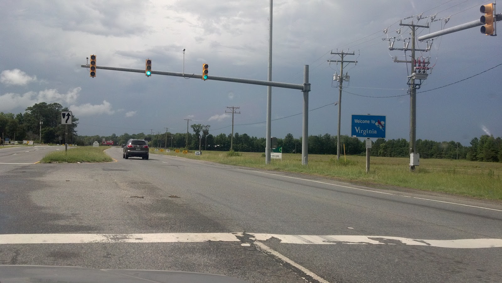
Entering the state of Virginia and the City of Chesapeake. The 168 number now occupies a Virginia primary route shield. There is a large, busy service station and restaurant located along the border.

Looking back into North Carolina.

This sign has seen better days.

No comment.


The state line passes through the building, so it's possible to cross the state line and even stand in two states at the same time. Prices for items such as cigarettes are posted for both states, with checkout counters located in each state. The fuel station is located in Virginia and the restaurant is located in North Carolina. One can also purchase various Outer Banks-themed merchandise.

Resuming our trip northbound on VA 168.

Virginia likes to put shields in its mileposts.


Approaching the south end of the tolled Chesapeake Expressway. VA 168 Business (Battlefield Boulevard) is there as an alternative.

I don't know what font this is supposed to be, either.

No comments:
Post a Comment