A disclaimer: Some of my photos from the beginning part of the trip are very, very bright, a consequence of too much late-early-spring sunshine and too little lens shroud. I apologize for this. Either way, I still hope you enjoy.

I started taking photos after our test drive sessions, attempted sessions, and getting lost in Norfolk trying to find a Wendy's. Here are some mast-arm-sized street blades that ended up getting post-mounted. Welcome to Norfolk.
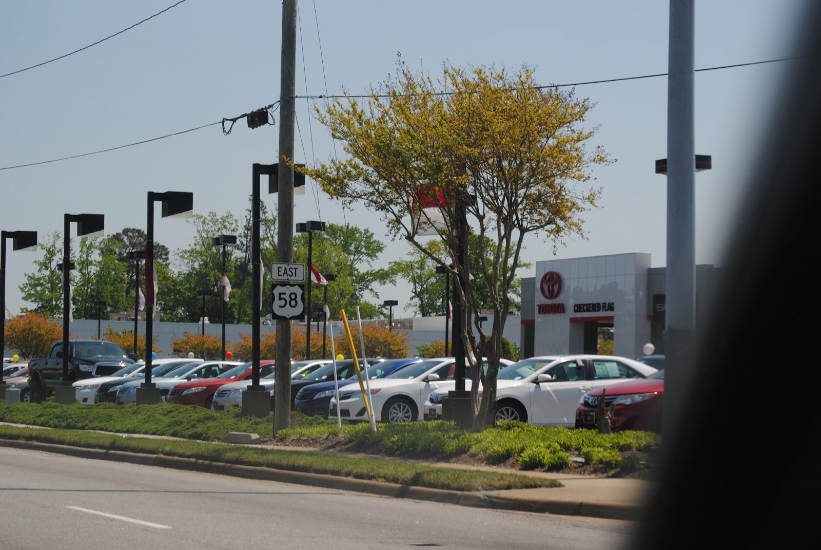
Continuing down US 58 east, more bizarre signage.

In Virginia Beach, major intersections along US 58 have overhead advance signage.

Someone decided to add how far away the public parking was, and to save money on a new sign, they did it this way.

On Independence Boulevard (VA 225).

The CBBT has its own shield design.

New Wendy's logo. I disapprove, but the new style of restaurant looks pretty decent.
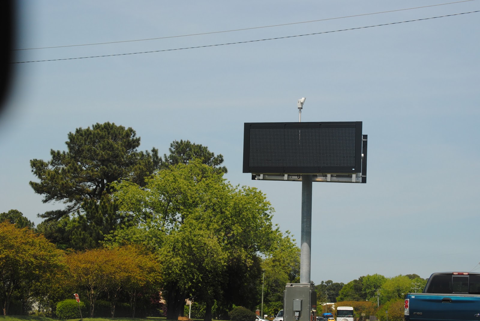
Virginia Beach standard invariable variable message sign.
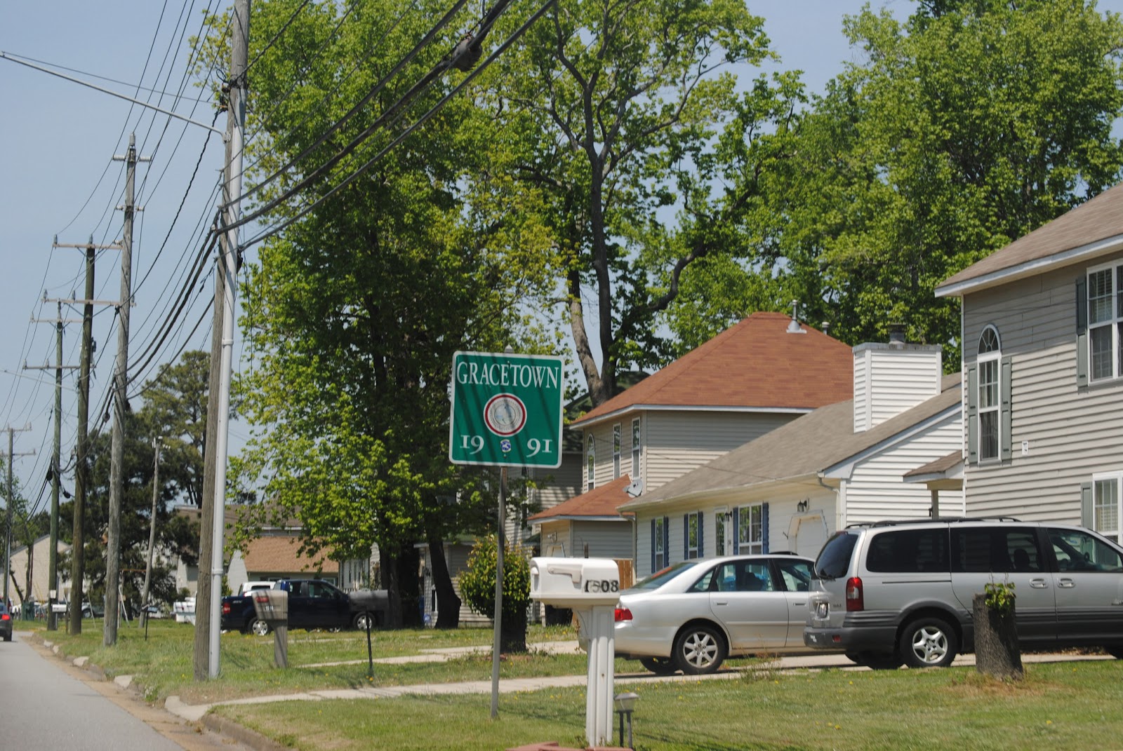
The neighborhood of Gracetown gets to make up its own signage rules.


Independence Boulevard encounters Northampton Boulevard (US 13) at this interchange. There one will find a repository of sign-shop horrors. There was also a fairly horrifying ramp-speed sign hiding in the bushes off to the right, shamed by its existence.

As it moves toward the oceanfront, Northampton Boulevard is a semi-freeway, with some access control.

Looks like Virginia Beach hired Billy Mays (1958-2009) to make some signage.

What the hell is this?


Coming up to the northbound toll plaza. The toll is twelve dollars one way, discounted to five dollars for a return trip made same day.


The last little bit of land.

Shoving off.

The Chesapeake Bay Bridge-Tunnel carries US 13 across the Chesapeake Bay. Twenty-three miles long, it was completed in 1964 and its capacity expanded in 1999. We start out by taking the older lanes north.

I've omitted some of the worst photos, so you'll unfortunately have to do without what I thought were good shots of the open ocean, ships, and some of the signage. We're coming up on the first tunnel, the Thimble Shoal Channel Tunnel.

It's somewhere in all of this glare. The extra two lanes are shedded to enter the two-lane tunnel. The CBBT is an interesting place to spot license plates, we saw plates for Nova Scotia, Ontario, and Quebec, in addition to the usual New England ones.

Some tunnel stats. I took a few pictures with my cell phone here, which was probably a good idea.

There's a pedestrian bridge over the tunnel entrance, allowing for plenty of Instagram opportunities.

Here's the

US 13 north is signed for Philadelphia here.

Somewhere in this photo, there is a boat.

Traffic flow out of the rest area.

A look back at Virginia Beach, the Lynnhaven Inlet area, to be exact, in maximum telephoto.

And back onto US 13. I was going to try to do more of the CBBT in this post, but just uploading these pictures took almost two hours for whatever reason, so I'm giving it up. Tune in next time for more exciting photographic experimentation.
No comments:
Post a Comment