(Previously posted in this thread on March 4, 2012.)
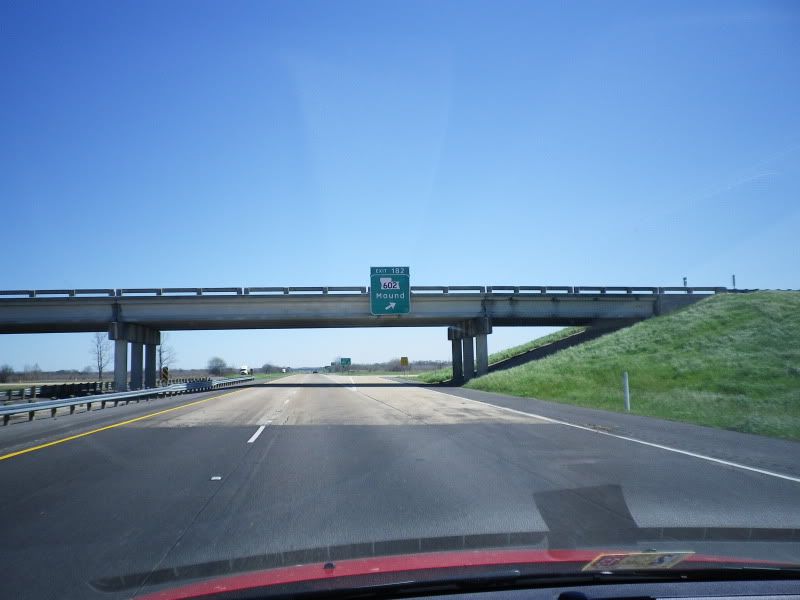
In March 2012, I was trying to settle some confusion about the actual designation for the eastern stretch of former US 80 in Madison Parish from Interstate 20 to the Old Vicksburg Bridge approach, which has been closed since 1998 and US 80 is now routed concurrent with I-20 from Exit 186. I was reading that it was designated as LA 3218, but when I was driving home on leave, the one-mile and three-quarter-mile guide sign for Exit 186 called it Madison Parish 193. So, I started to Street View the area around Exit 186 to look for evidence either way, and I found something I had to see:

But a crappy GMSV image from June of 2008 wasn't cutting it, and I still had to settle that nagging confusion, so I grabbed my camera and a Full Throttle and took a Sunday drive back to Delta to check it all out.
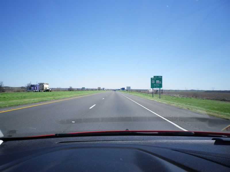
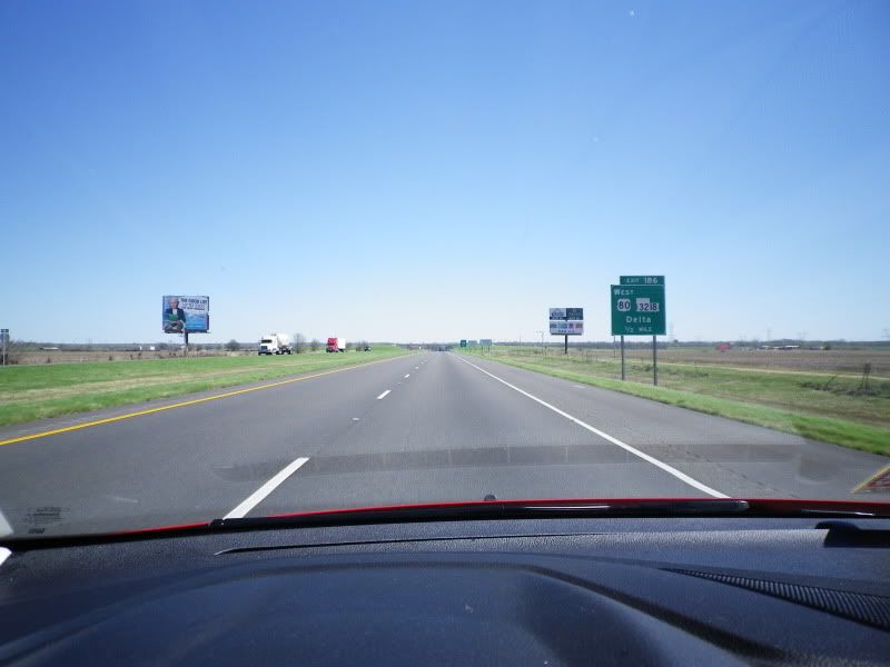
First off, Clearview has come to Louisiana. It was also noticeable on most new signs around Monroe, mostly secondary destination and POI signage, there are no new BGSes featuring Clearview in the area (as of May 21). There were also town-name signs for Thomastown and Delta in the font, as well as other BGSes for Exit 186 headed westbound.
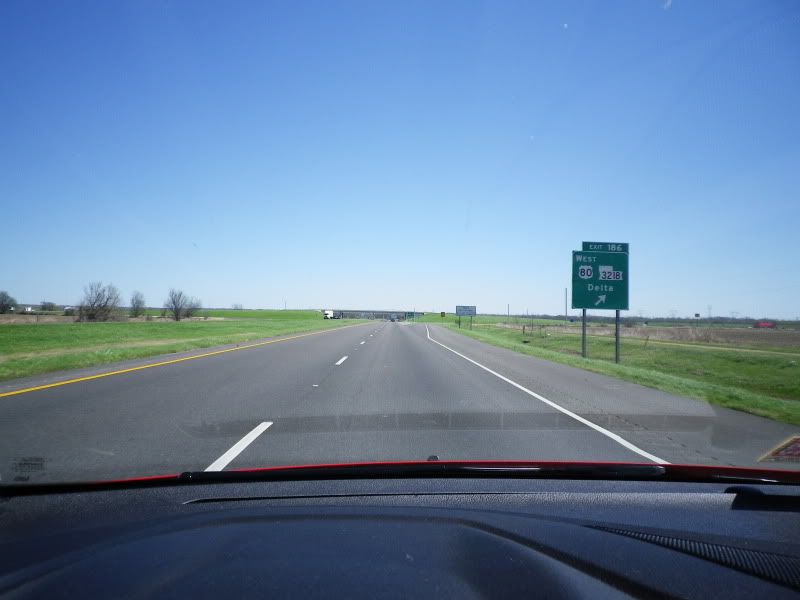
There was no confusion headed eastbound, though, all BGSes for Exit 186 referenced LA 3218.
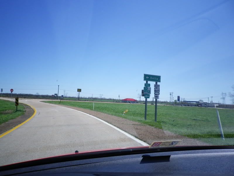
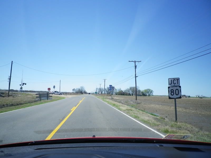
No confusion at the end of the exit ramp, either. TO LA 3218 and US 80 west trailblazers. As far as I know, the road that carries US 80 to I-20 here does not have a designation south of the interstate, and ends shortly after the gas station in the background.
US 80 east and Interstate 20 east are concurrent from here to Exit 35 in Mississippi.
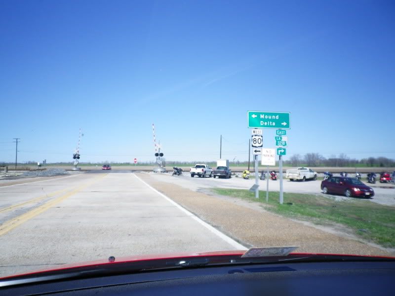
Turn left onto US 80 west to go to Mound, turn right on LA 3218 east to go to Delta. I think our mystery is solved.
This thin-fonted (I believe Series B) US 80 shield was actually facing the intersection, probably due to storm winds. From the brief glimpse I was able to get of the back, I saw a 2001 marking. Louisiana generally does not post directional banners on the US 80 mainline in rural areas.
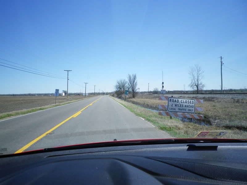
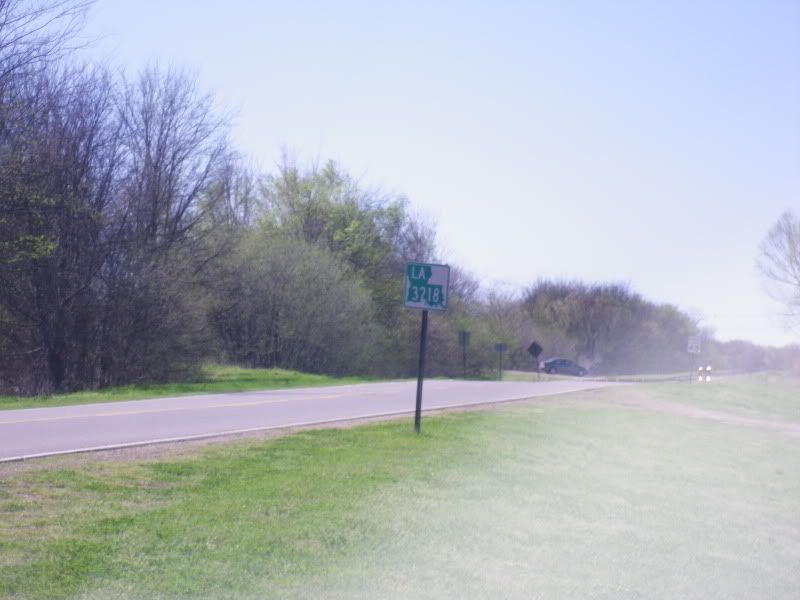
Road closed two miles ahead with the first eastbound LA 3218 shield in the background.
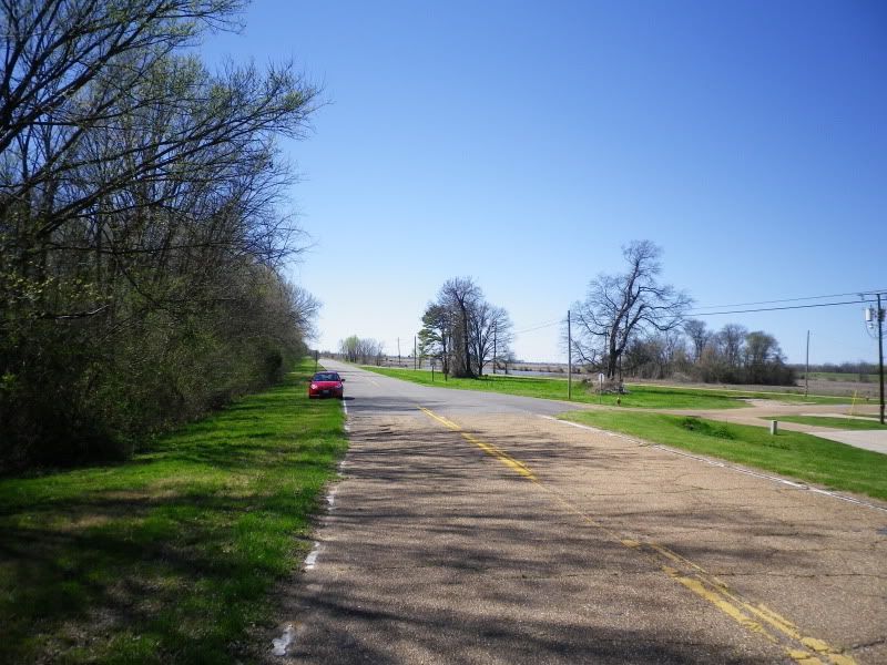
Now with only one outlet, and even when it had two, this highway is very rural in character.
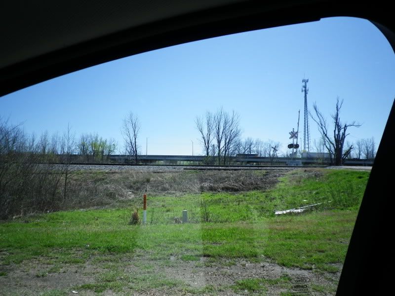
Looking to the south at my window frame and the Louisiana approach of the Vicksburg bridge. The bridge was opened in 1973. The Old Vicksburg Bridge was opened in 1930 and closed to vehicular traffic in 1998.
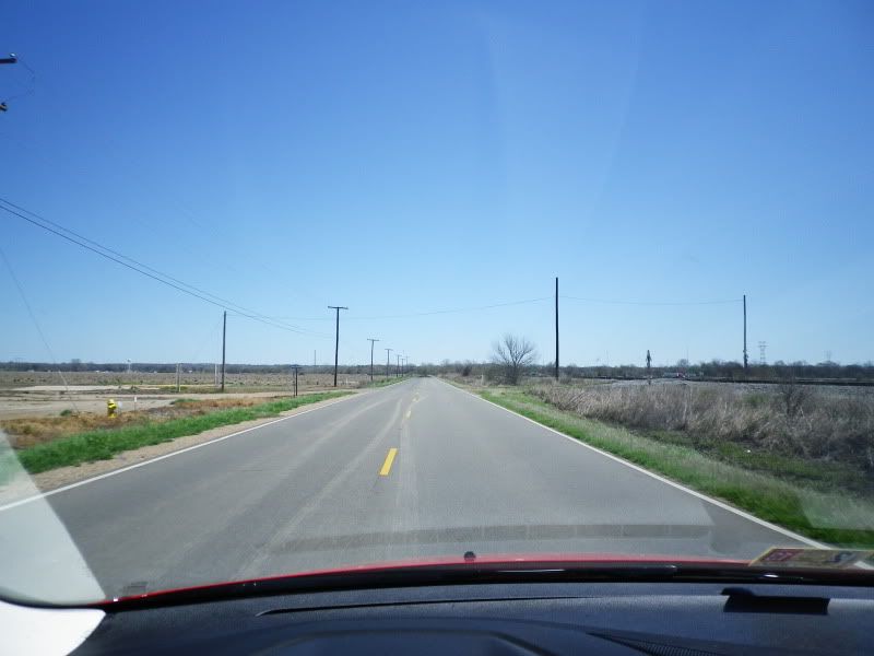
Getting close now. The aforementioned Clearview town-limit sign for Delta (population 293) is nearly invisible in the background. You'll have to forgive my mediocre road photography.
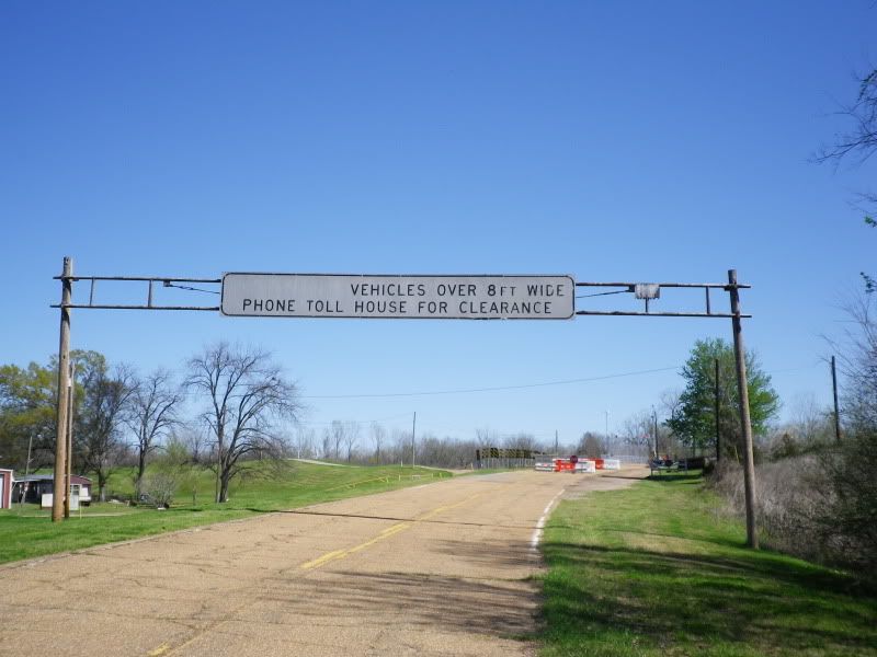
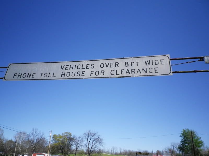
Well, look what's still here. No traffic has been around to heed that warning since 1998. I wonder what used to be to the left of the word "VEHICLES". (Jake, of AARoads fame, suggested in a different thread that the most likely candidate is "COMMERCIAL", probably before they realized non-commercial vehicles could also be more than eight feet wide.) Whatever was there, they did a pretty clean job of removing it. There are no shadows of old letters visible in the blank space. I also wonder what year this gantry was installed.
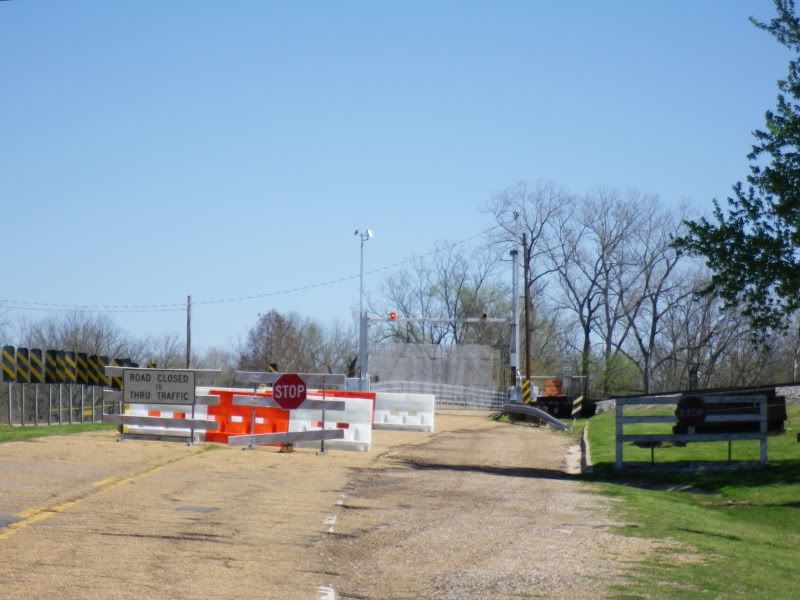
A look at the old bridge approach. Since the bridge still carries train traffic, it still has to be inspected, so all the barriers are temporary. The red warning lights flash continuously. Also note the old round wooden stop sign beneath the tree to the right and the speed limit sign in the background to its left.
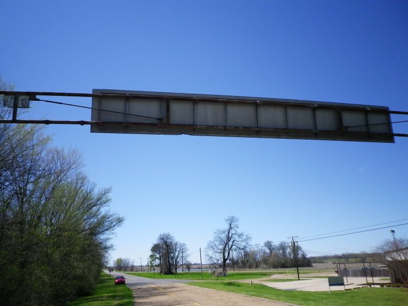
A look at the back of the gantry. The building to the right served some sort of medical function, I don't recall exactly what.
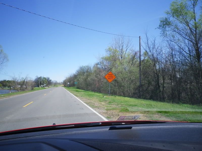
A look westward down LA 3218. Its eastern terminus is technically at the old bridge approach.
The first westbound reassurance shield for LA 3218 is at the second intersection in the distance of the previous photo.
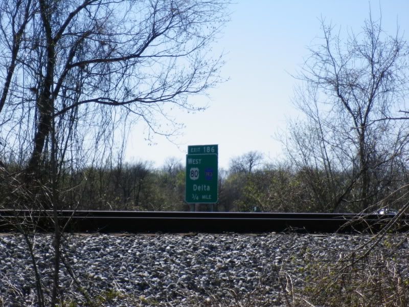
Here's a look at the three-quarter-mile guide sign for Exit 186 showing Madison Parish 193. As mentioned before, the one-mile sign mentions it as well. Considering how well LA 3218 is signed here (there is also a recent black shield west of the US 80 junction that I didn't get a picture of), this is obviously an error, or perhaps somehow LA 3218 really was decommissioned in favor of Madison Parish 193 and they didn't bother to remove the old signage. But that sounds like a conspiracy theory. These signs are definitely erroneous.
No comments:
Post a Comment