Point and Rocky Branch, Louisiana are two towns of very little substance in southern Union Parish. Point is located along a sharp curve on LA 552 and Rocky Branch is located along LA 143. Between them is Rocky Branch Road, a 5.4-mile, partially unpaved rural road that skirts part of the northern boundary of D'Arbonne National Wildlife Refuge and features a bridge over Bayou D'Arbonne. When I lived in Point briefly around 2000, I lived at the intersection of Rocky Branch Road and LA 552. With time to kill while I'm home for my mother's college graduation, I decided to head up there and see what was what. Once again, forgive my mediocre road-photography skills.
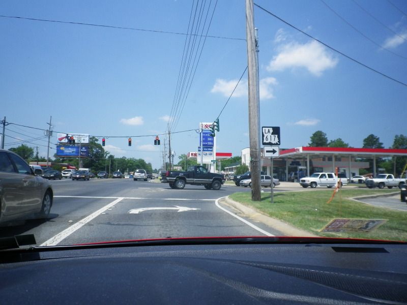
We start on US 80/LA 15 (Cypress Street) in West Monroe, at the intersection of it and LA 617 (Warren Drive). A brief triple multiplex of the three routes ends here.
Warren Drive connects US 80/LA 15 with LA 616 (Arkansas Road). It was widened from two to four lanes in the late 1990s.
The northern terminus of both Warren Drive and LA 617 is at this intersection with LA 616, Arkansas Road. Despite the widening of Warren Drive, Arkansas Road has changed little through this area since it was originally constructed and this intersection often gets congested.
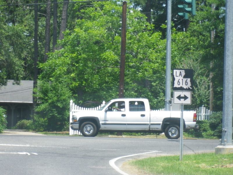
Now on LA 616 west. LA 616 runs 5.95 miles from LA 15 in Drew to LA 143 (North Seventh Street/White's Ferry Road) in West Monroe.
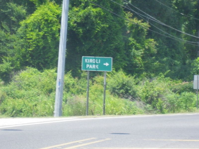
This is the intersection of Arkansas Road and Kiroli Road. This signage for Kiroli Park (with an identical sign on the same post behind it) has been here for as long as I can remember. Arkansas Road and LA 616 will depart West Monroe city limits a couple hundred feet ahead.
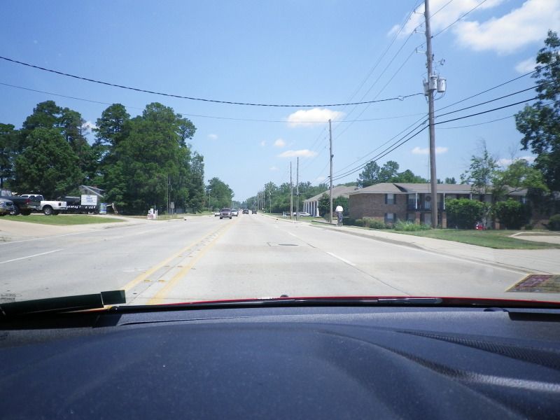
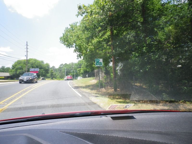
LA 616 is two lanes for its entire length. As mentioned before, it has changed little since it was originally constructed.
Clearview signage finds its way onto Arkansas Road.
Very wide shoulders are the norm for LA 616 until its western terminus.
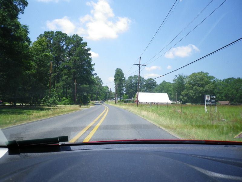
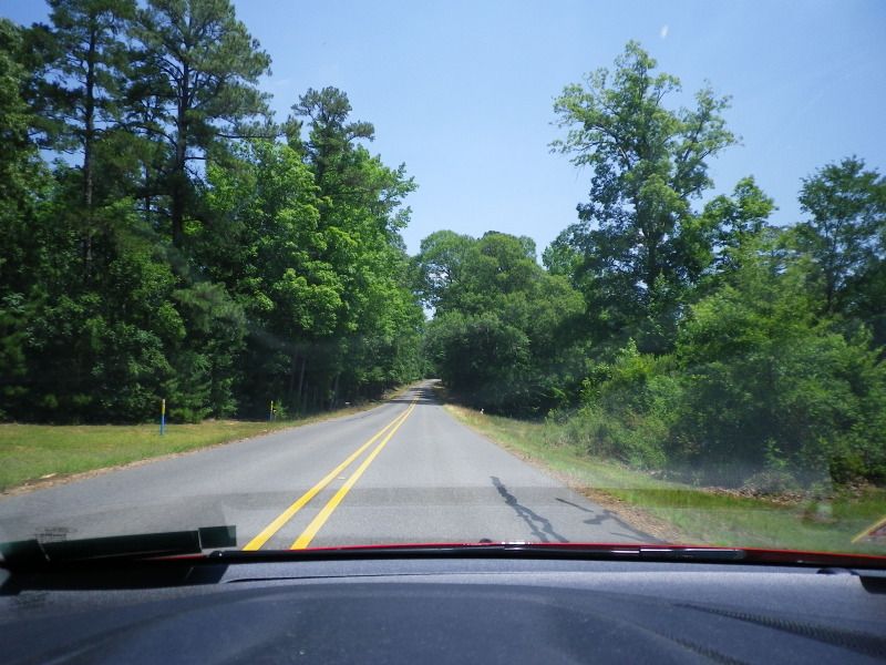
The scenery becomes more rural and less well-photographed.
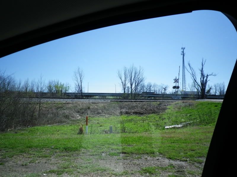
This is the intersection of LA 616 and Ole Highway 15, which is an interesting drive between here and US 80/LA 15 to the south. It has since been bypassed. Yes, "Ole Highway 15" is its official name.
Approaching the junction of new LA 15 near Drew School.
LA 616 ends at this traffic light. LA 15 takes over its alignment.
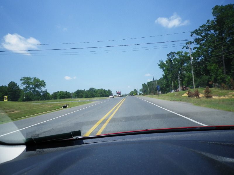
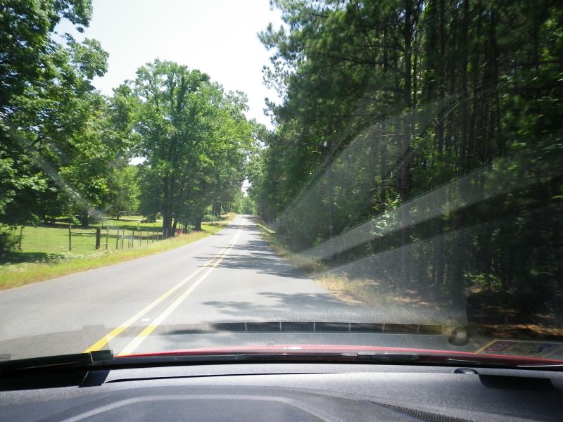
Wide shoulders continue as the road becomes more rural.
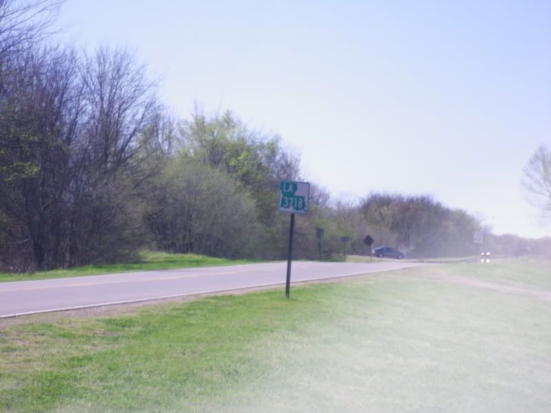
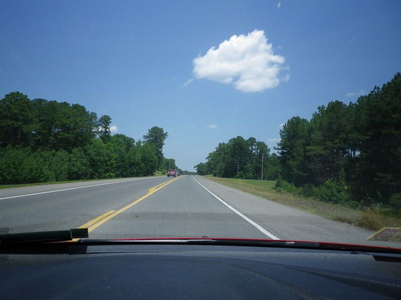
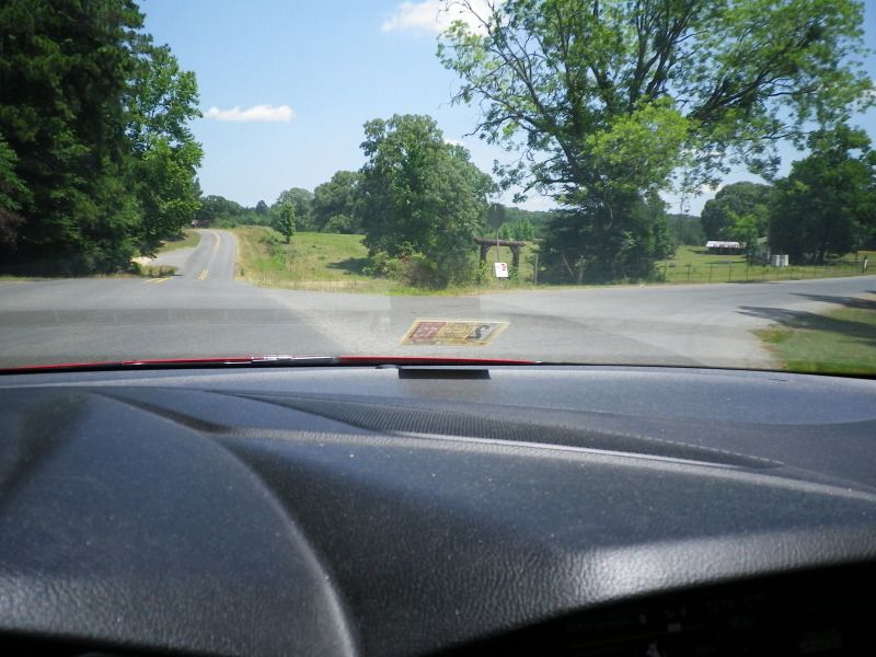
Just inside the Union Parish line, we meet LA 552. It meanders around the countryside to the south of Lake D'Arbonne for 12.35 miles before returning to LA 15, which continues to Farmerville.
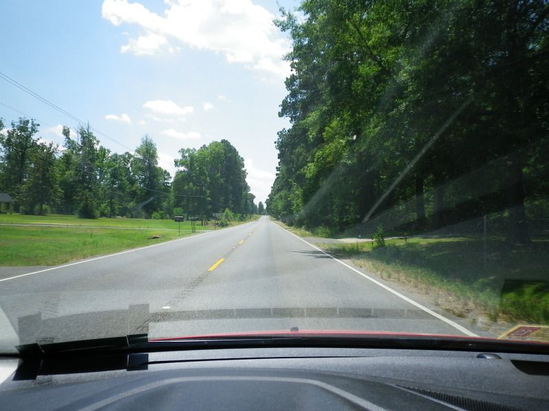
Now on LA 552, which generally heads northeast from here. Directional banners are uncommon on rural Louisiana highways.
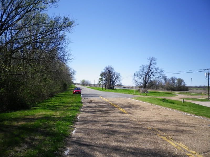
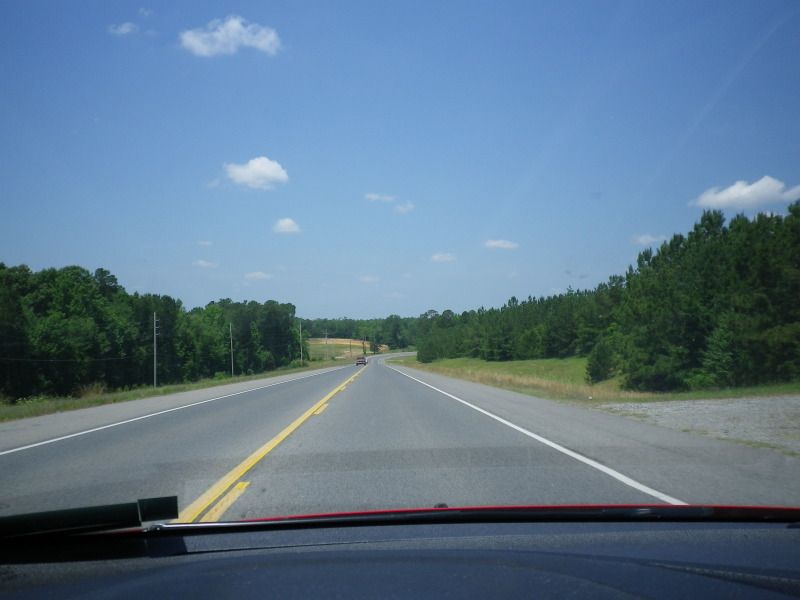
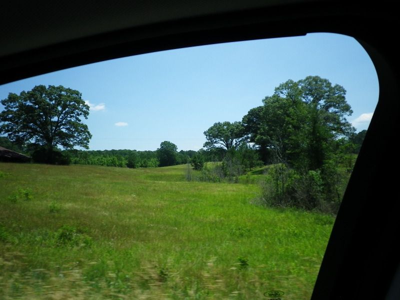
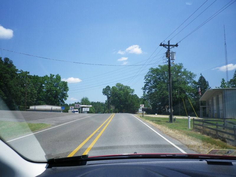
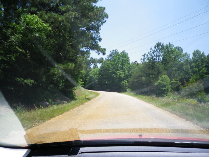
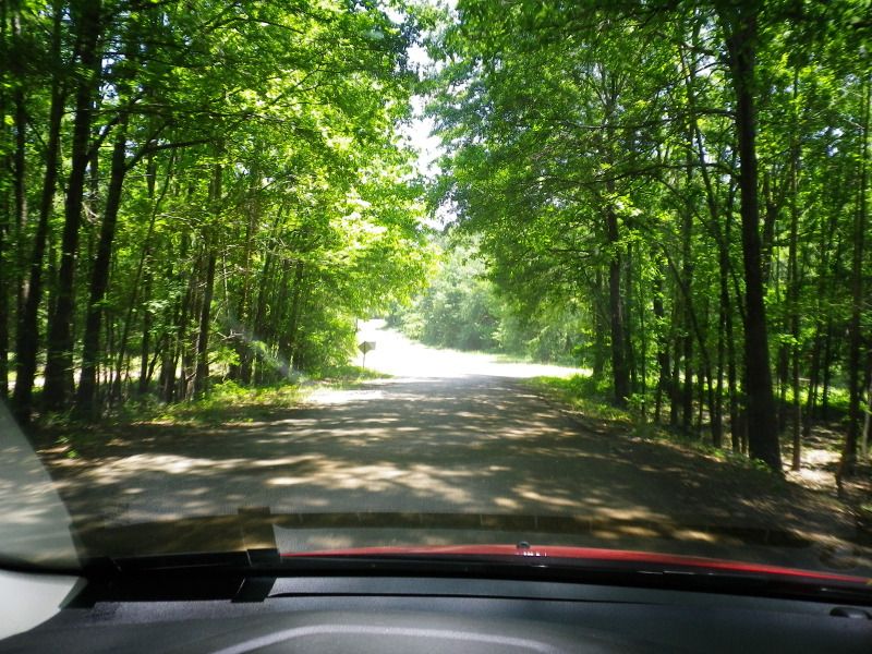
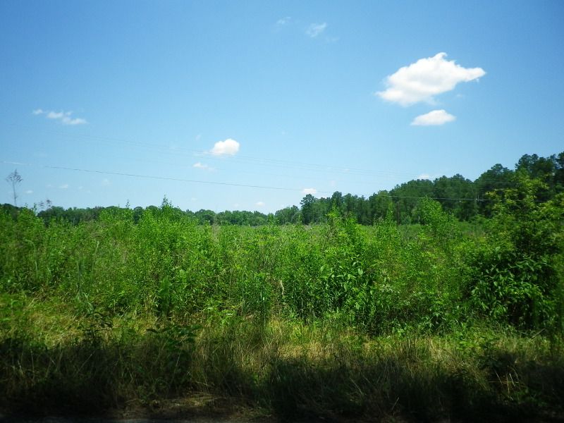
LA 552 is narrow, winding, and isolated, serving no incorporated places. A spiderweb of rural roads, paved and unpaved, branches off from here to even more isolated areas.
One of the entrance roads to D'Arbonne National Wildlife Refuge.
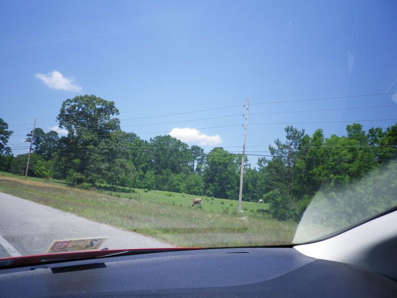
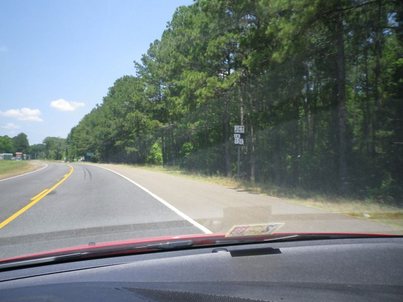
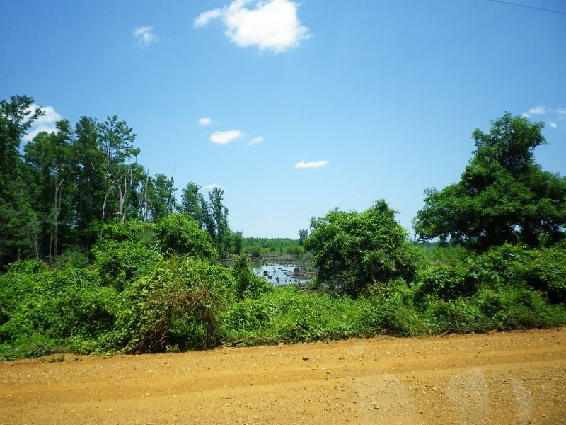
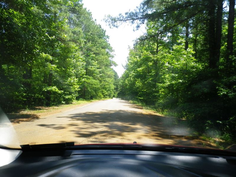
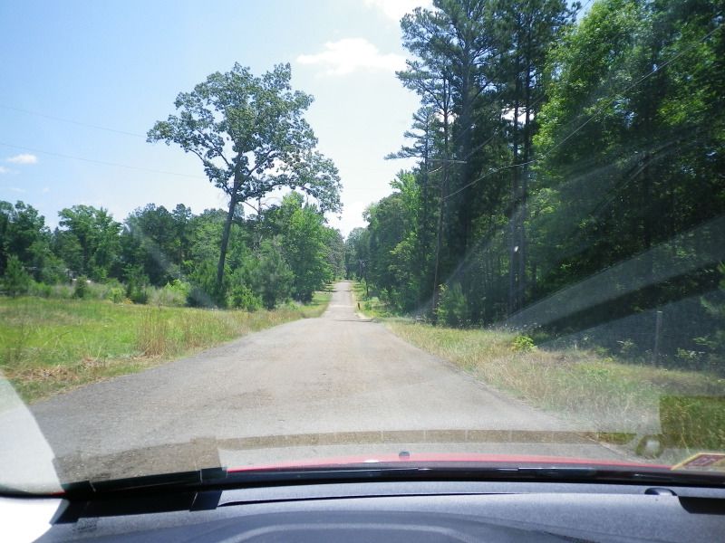
Scenes like this are common here.
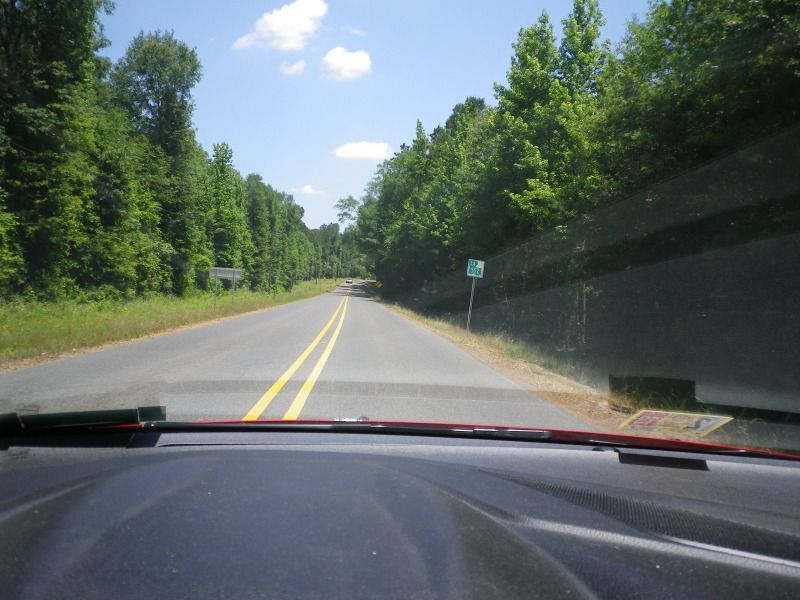
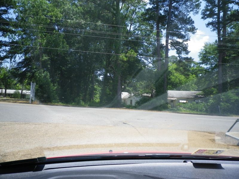
This is Wilhite, the first of two inconsequential destinations serviced by LA 552. There are no signs indicating you have arrived here.
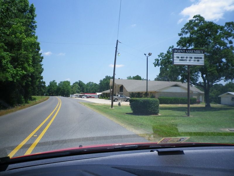
Point is a few miles up the road. There's a church to the left, the volunteer fire department is on the right, and the gas station, which is the only services available on LA 552. There is a house behind the large tree to the right. I lived there briefly around 2000.
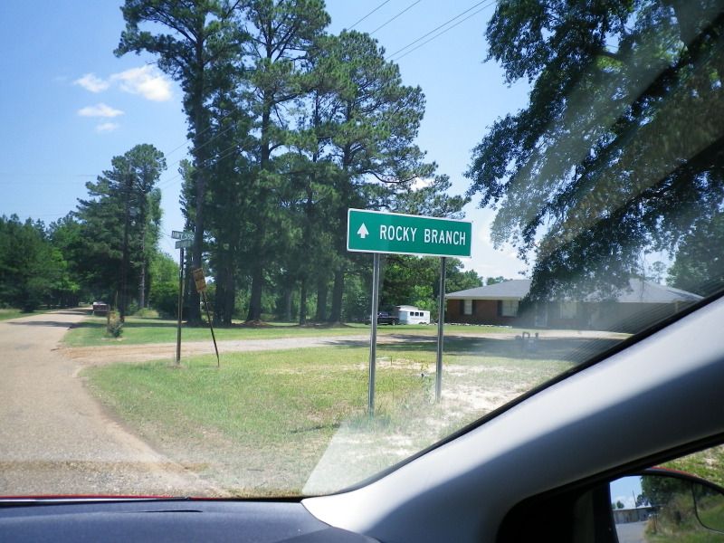
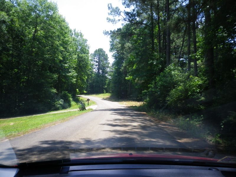
LA 552 curves left to return to LA 15. Rocky Branch Road continues straight.
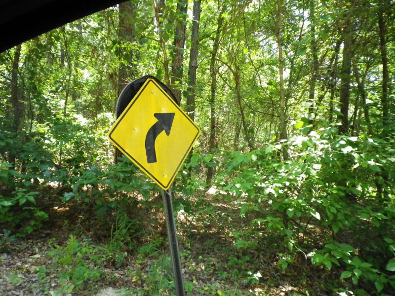
I had hoped to find some old signage around here, but all of it seemed to be in good shape. Rocky Branch Road is Union Parish 5842, then 8810, but both designations are unmarked.
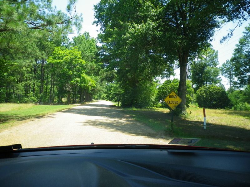
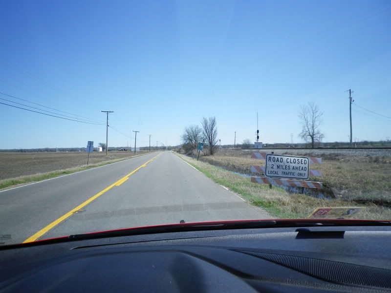
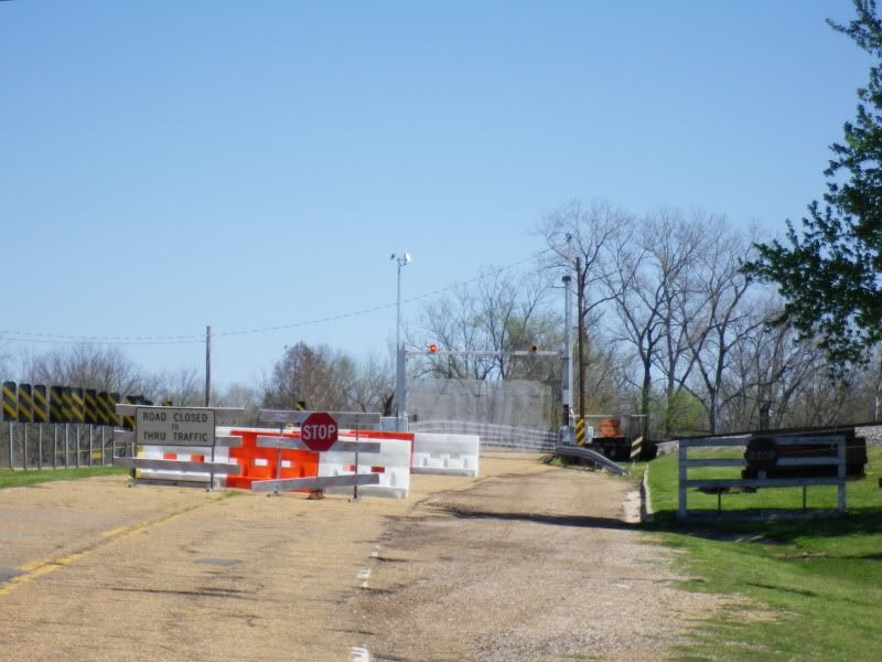
Road closed ahead. The bridge over Bayou D'Arbonne was rebuilt in the late 1990s and early 2000s.
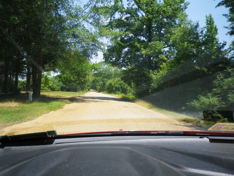
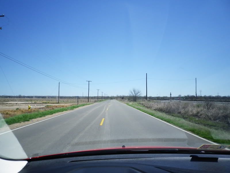
Most of the pavement is in decent shape.
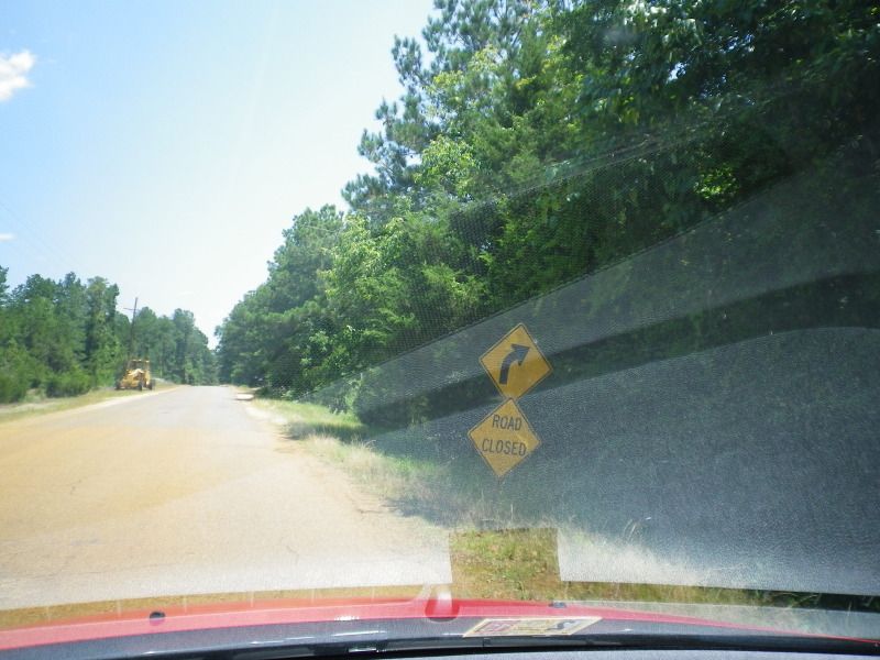
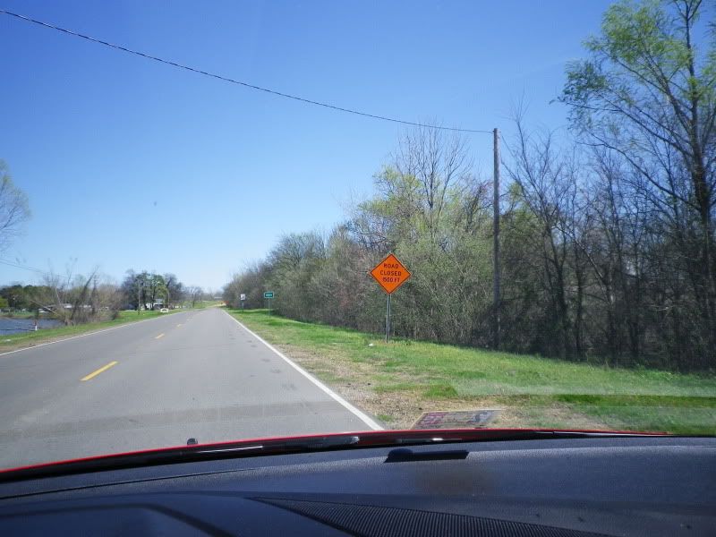
Another warning that the road is closed ahead.

The construction equipment probably exists to smooth the gravel that is ahead. The area around the bridge is prone to flash flooding.
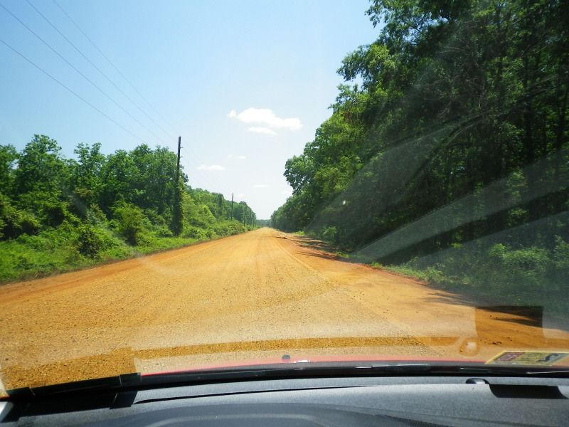
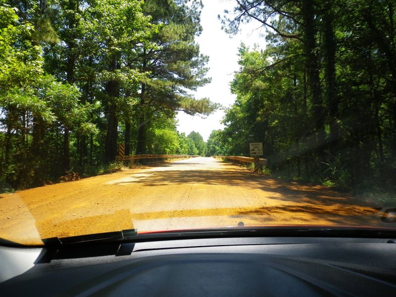
End pavement. The gravel was not as bad to drive on as the last time I remember. It's very smooth and barely kicks up any dust. You could definitely maintain the speed limit of 35 through here. This portion is also part of the northern boundary of D'Arbonne National Wildlife Refuge.
There hasn't been a whole lot of rain to speak of in this area recently, so things are fairly dry. When there has been a heavy rain, the area surrounding this part of the road is usually flooded.
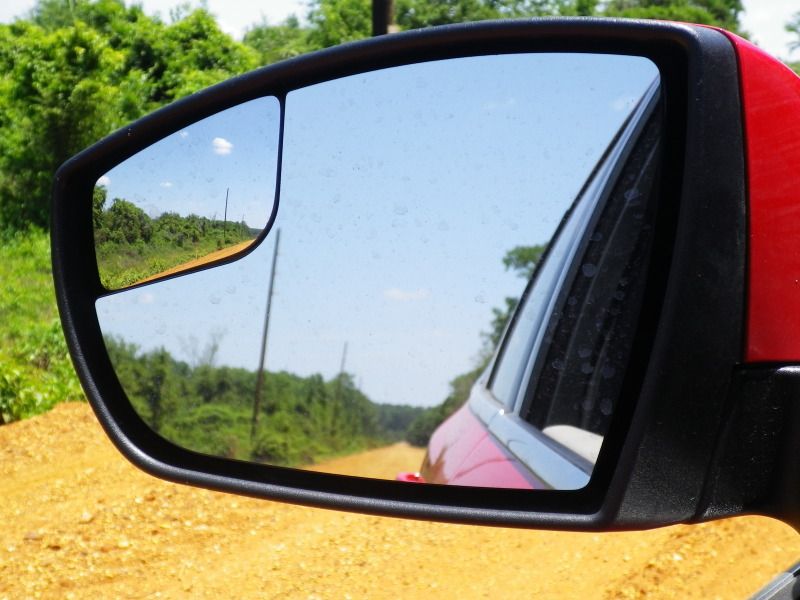
No one in front, behind, or in my blind spot.
And here we are at the bridge. The gravel portion ends here.
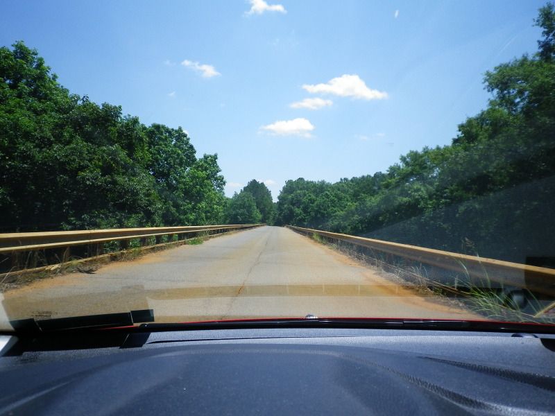
It's potentially wide enough for two small cars to cross simultaneously.
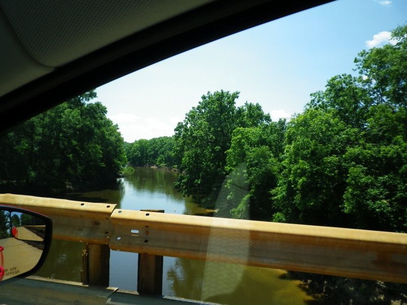
Bayou D'Arbonne.
Back on solid ground.
I don't know why this old sign has an old trash can lid on the back of it.
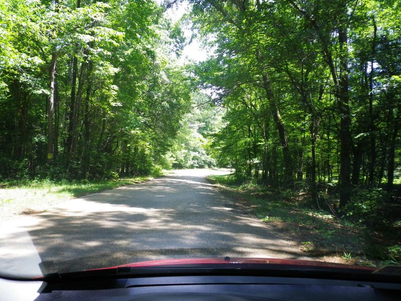
Still the middle of nowhere.
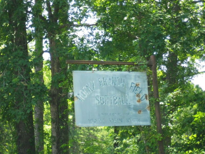
This was easily the oldest sign I saw. I didn't see any signs of a softball field here, or anywhere else.
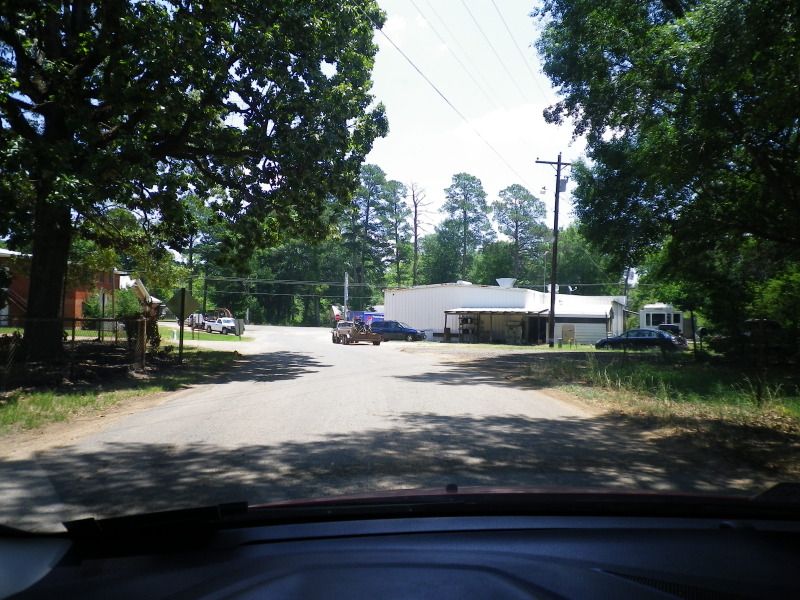
The eastern terminus of Rocky Branch Road comes on you somewhat abruptly. You're in the middle of nowhere, then wham, a little bit of civilization. The terminus is at the stop sign in the background.
At the end of Rocky Branch Road at LA 143. There's no mention of the state highway here.

Looking along LA 143 north out of Rocky Branch. Most of the town's substance is seen two pictures above.
Now onto LA 143 south back to West Monroe to complete this trip.